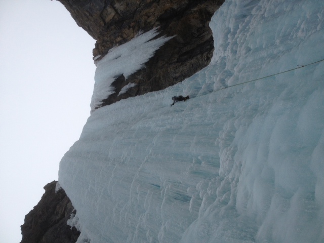
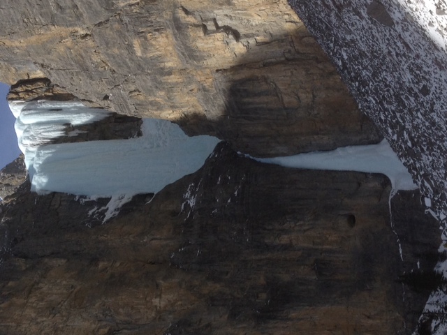
Thick, blue, slightly brittle ice on Kemosabe today. Some hanging daggers on
the right of the upper pitch threaten the area below.

The upper pitch felt harder than the grade, but we may just be getting soft.

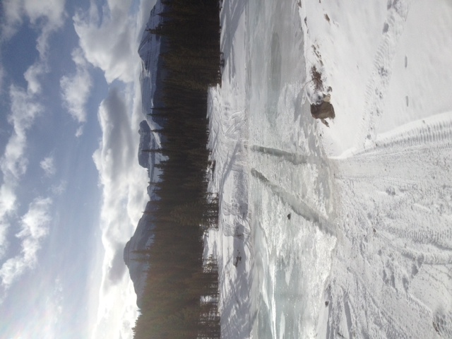
Driving approach was shorter than I remember at just less than one hour from
the Ghost River turn off to the parking at marker 131(on Ghost FLUZ map). Drive
was in 2WD condition most of the way.  Creek crossing at marker 129 was
straightforward with a thin breakable crust and water over a (apparently) solid
base.  Parking before this creek crossing would only lengthen the walk by ~ 20
minutes. We walked west on the cut line following the ridge south of Waiparous
creek straight towards the route from marker 131. Good travel on some old
tracks and knee to thigh-deep bottomless facets off the tracks: 1.5 hours from
the parking. It looked like driving farther up Waiparous creek on the winter
road towards marker 135, then walking south into the drainage, may shorten the
approach time, but we did not try this option.

Josh Briggs
Aaron Beardmore


---
Josh Briggs
Consulting Geologist / IFMGA Mountain Guide
✆ 403.609.9153
www.briggsconsulting.ca
_______________________________________________
These observations and opinions are those of the person who submitted them. The
ACMG and its members take no responsibility for errors, omissions, or lapses in
continuity. Conditions differ greatly over time and space due to the variable
nature of mountain weather and terrain. Application of this information
provides no guarantee of increased safety. Do not use the Mountain Conditions
Report as the sole factor in planning trips or making decisions in the field.
Please check out http://acmg.ca/mcr for more information.
| 

