We made an old school attempt -carrying everything from the road, no
helicopter- on the North Face of Mt Robson, Sept 1-5.

Sept 1st we hiked through the rain to the Whitehorn Camp, which was the only
site we could get given the long weekend (It would have been better to have
reserved a site at Emperor Falls in advance, or leave early enough to make it
onto a bivy on Dog Buttress).

Sept 2nd we forded the Robson River directly across from the tip of the lateral
moraine that contains Mist Lake and is the moraine that you need to walk along
to get to Dog Buttress. The river is braided there and wasn't deeper than knee
level (It should be noted that good bivy platforms exist soon after fording the
river). Dog Buttress is a dog, miles of low level scrambling first crossing
left of the main drainage, then back right. We camped on a small in situ
platform at 3/4 height and got the crap blown out of us that night.

Sept 3rd we climbed to the top of the Dog, a few centimetres of new snow on the
upper quarter. Increasing cloud and whiteout chased us off of the glacier and
back to the top of the dog to camp. Easy level camping there. We encountered
several fresh windslabs on the glacier. Finding a route through massive
crevasses is complicated there now, much like the Mousetrap in the Kain Icefall
was like in the late 80s and early 90s.

Sept 4th we cracked the riddle of the crevasse maze aiming to get into position
camped below the North Face, or at the Helmet/Robson Col. A poor weather
forecast heard on Environment Canada's repeating broadcast sent us packing all
the way down the Dog to camp at it's base.

The weather man was right, we walked out through the rain yesterday.

Happy trails,

Barry Blanchard
Mountain Guide
www.barryblanchard.ca
www.yamnuska.com

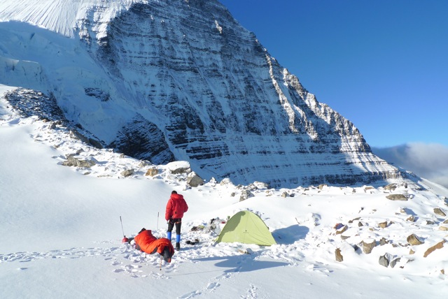
Camped atop the Dog, Tuesday morning.

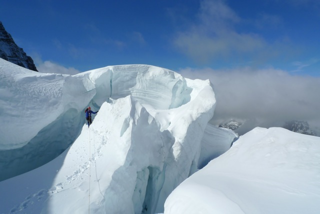
Retreating through the 'key' to the crevasses below the North Face, Tuesday
morning.

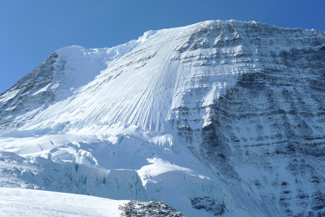
The North Face of Robson, Sept 4th.
_______________________________________________
These observations and opinions are those of the person who submitted them. The
ACMG and its members take no responsibility for errors, omissions, or lapses in
continuity. Conditions differ greatly over time and space due to the variable
nature of mountain weather and terrain. Application of this information
provides no guarantee of increased safety. Do not use the Mountain Conditions
Report as the sole factor in planning trips or making decisions in the field.
See http://acmg.ca/mcr for more information.
See http://informalex.org/subscribe.shtml/unsubscribe to remove your name from
this list.
|