A few scattered weather systems near the end of the week brought
up to 30cm of new snow with a return to more seasonal temperatures. This snowfall was accompanied by moderate to strong winds from the SW.
This new snow now overlies a variety of hard
surfaces and an unusually facetted upper snowpack. This is all part of a much lower than
average snowpack (250cm's as opposed to a normal 350-400cm's). Our main concern at the end of our week were isolated wind slabs in the alpine that could potentialy avalanches up to size 2. We were staying away from any areas that were steep, unsupported and looked like they had wind affect. Even tough many of these wind slabs look like they would only be of a smaller nature, they would most likely run far on the hard bed surface and easily take a skier off a cliff or terrain trap if they were in the wrong area.
Before the 30+/- cm's new snow fell, we found that most areas at or below tree-line had a prominent surface hoar layer (large feathery
crystals that bond poorly to new snow). This layer was unreactive to skier traffic due to there not being much of a load yet, but it will be something to watch for as more snow falls.
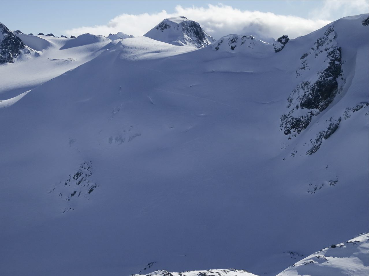
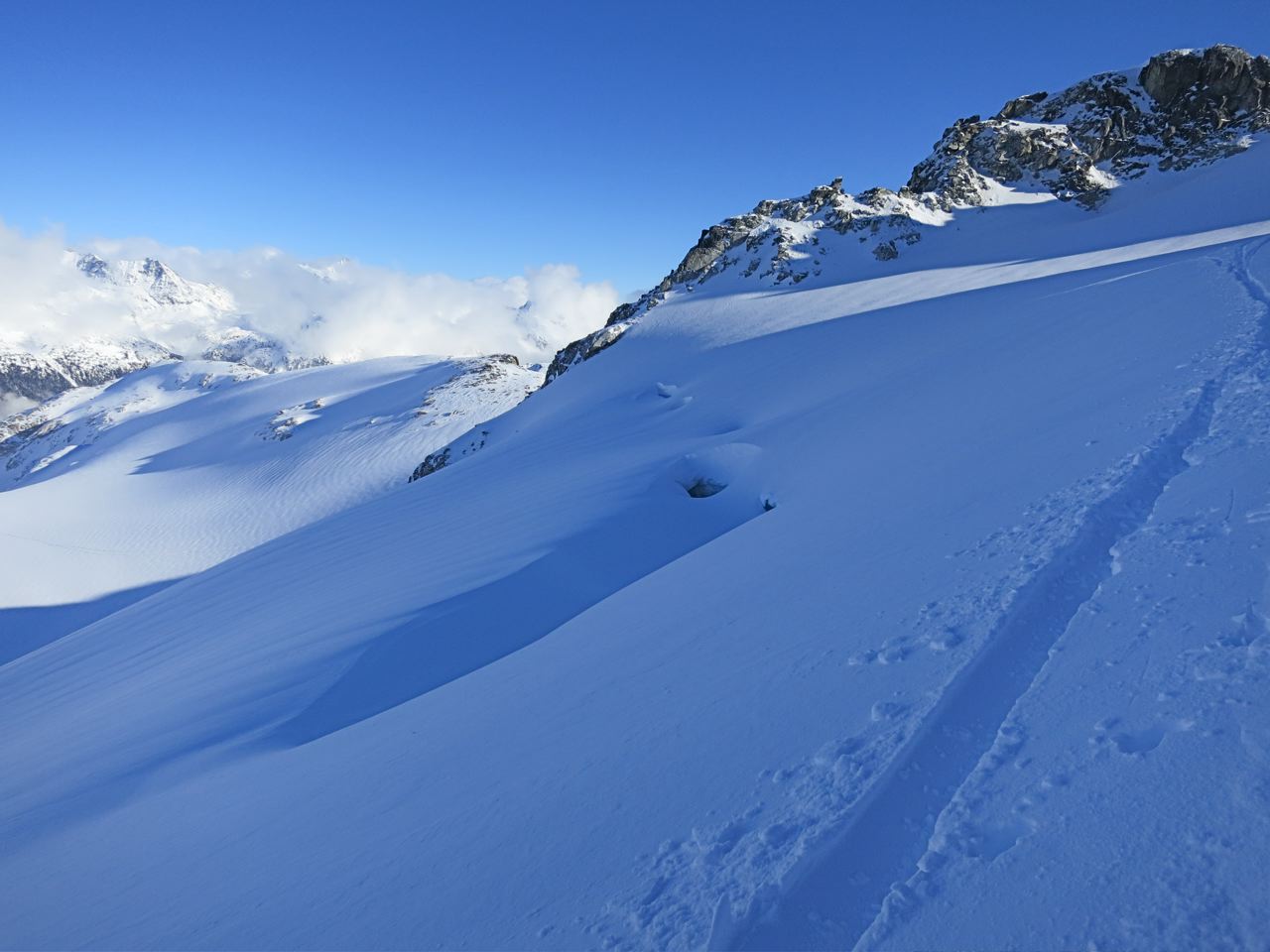
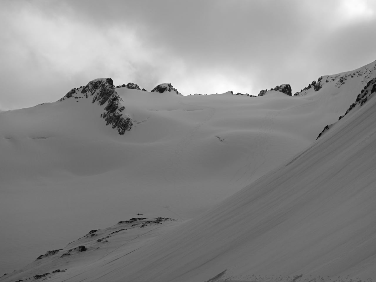
Another concern for us during this week were the open or sagging crevasses on many of the local glaciers. To us the glaciers looked as though it was mid to late December and not late Jan. With this below average snowpack many holes were still open and the ones that were covered did not look very trustworthy, especaialy due to the faceted (weak) nature of the snowpack. We played it safe around any visible crevasses and gave them much respect while passing by.
The skiing drastically improved (it wouldn't take much!) throughout the week, but we still found travel below tree-line or on any wind exposed areas to be quite rugged. Staying in sheltered open locations proved to be the best for good ski quality.
Play safe and have fun out there. TRU/ACMG Ski Guide training touring course, candidates and instructors.


