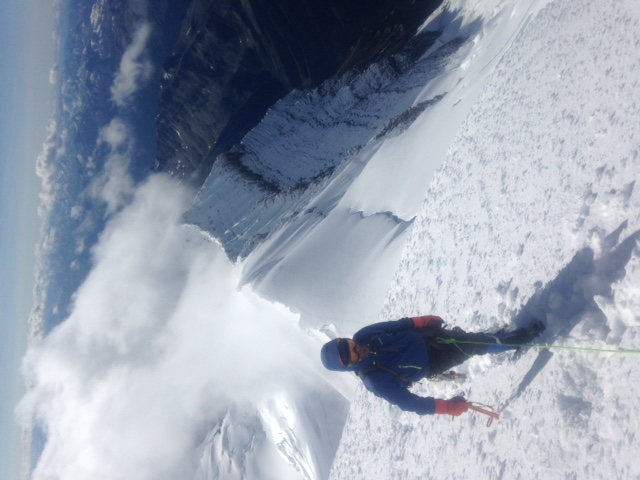
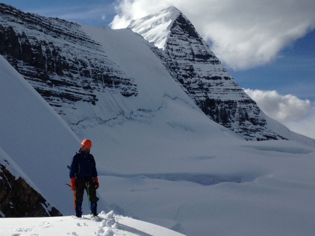
Had the pleasure of summiting Mt. Robson July 30th with one client via the Patterson Spur to gain the Resplendent Robson col. The new climbers trail that starts at Kinney Lake, works nicely to access that side of the mountain. This took 10 hours with a fit client from the car park to the RR col.
Thanks to the Thoni family from Valemount for working on this "Thoni Trail". Call the Cariboo Grill in Valemount and ask for Rudi, Andreas, Riner or Patricia Thoni. They can find you porters and know the best way out of the forest into the alpine.
The ridge above the Mouse Trap had settling snow on the ledges.
Close to 1 meter of new snow had fallen on the flats under the Kain Face from the last storm systems. This made for boot top to shin deep trail breaking. The Kain Face was holding at most 30cm of well bonded new snow on the lower angle sections. We experienced cool temps on the upper part of the mountain. If temps warm up snow instability can be expected. On the steeper sections of the Kain Face the ice was still showing.
From the Kain face to the summit ridge was crampon deep wind scoured snow. Making for faster travel.
Traversing the cornices to the summit travel turned back to shin deep boot penetration.
Once back on the glacier below the Kain Face travel deteriorated to knee deep snow in places with the warm temps.
Having climbed and attempted Mt. Robson from many different angles I think the Patterson Spur is the easiest and potentially the safest way to climb the mountain from the highway. We were less than 48 hours round trip. A large majority of the objective hazards are eliminated on the Patterson Spur. However this route is exposed to rock fall hazard, especially if other parties are above you on the last section to the Robson Resplendent col.
All the best.
Safe Travels
Crosby Johnston
ACMG Mountain Guide.
altusmountainguides.com


Sent from my iPhone |
_______________________________________________
These observations and opinions are those of the person who submitted them. The
ACMG and its members take no responsibility for errors, omissions, or lapses in
continuity. Conditions differ greatly over time and space due to the variable
nature of mountain weather and terrain. Application of this information
provides no guarantee of increased safety. Do not use the Mountain Conditions
Report as the sole factor in planning trips or making decisions in the field.
See http://acmg.ca/mcr for more information.
See http://informalex.org/subscribe.shtml#unsubscribe to remove your name from
this list.
|

